

On 4–5 November 2025, the VTT Optical Measurements team, together with VTT’s Innovative Air Mobility group, organised a specialised GoldenRAM hyperspectral drone imaging workshop dedicated to vegetation mapping in mining environments. The training, delivered in collaboration with SMAPS Oy, took place at the Ouluzone testing area in Northern Finland. The location provided a setting well suited for demonstrating real-world Earth observation workflows.
The two-day workshop aimed to build practical capacity in the operational use of hyperspectral drone systems. Participants received expert guidance from SMAPS Oy on efficient aerial data collection using VTT’s Specim AFX17 SWIR hyperspectral camera. The focus was on workflow optimisation from preparation to data interpretation.
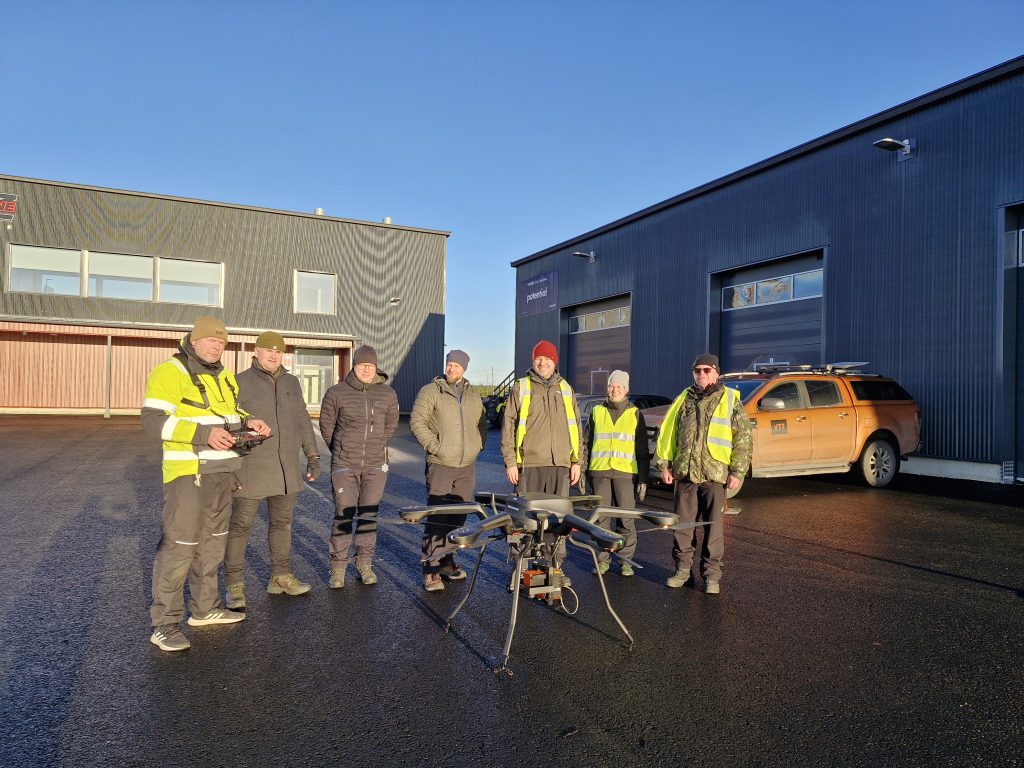
Workshop participants are gathered in the Ouluzone yard after successful imaging flight.
Turning Raw UAV Data into Actionable Insights
A structured programme guided attendees through each step of the imaging process. This included UAV and camera preparation, boresight calibration, and the execution of a series of imaging flight missions tailored for vegetation mapping around mining areas. After the flights, the programme shifted towards data processing, where participants worked through post-flight analysis, including raw-to-reflectance conversion and orthomosaic generation.
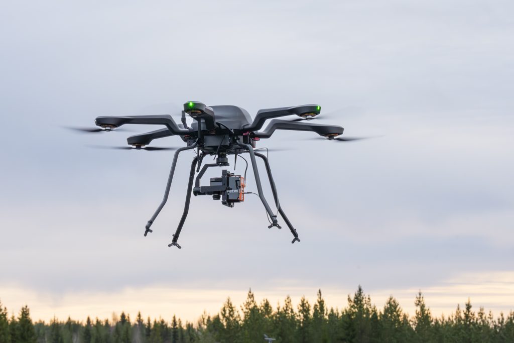
VTT’s drone hyperspectral imaging system is airborne performing an automated imaging task.
To evaluate performance across different surface types, the teams used test targets such as grass, evergreen forest, and swamp areas. The resulting reflectance datasets and orthomosaics provided a basis for future detailed assessment of vegetation patterns and spectral differences. A key takeaway from the exercise was the critical role of strong ambient illumination. Adequate lighting proved essential for accurate reflectance retrieval, underscoring its importance for operational deployments in northern regions and mining contexts.
By combining technical expertise, advanced hyperspectral imaging equipment, and realistic test conditions, the workshop strengthened the project’s capacity to apply Earth observation technologies to mineral exploration and environmental monitoring. Activities like this directly support enhancing situational awareness at mine sites through innovative remote sensing approaches.
GoldenRAM will continue promoting technical knowledge exchange as it advances the integration of state-of-the-art EO tools into responsible mining practices across Europe.
Banner image: VTT’s Specim AFX17 SWIR hyperspectral camera is mounted on Acecore Noa heavy-payload drone, ready for data acquisition mission.