
An extensive drone imaging and field data collection campaign took place at the Kevitsa Mine in Sodankylä, Finland, during 19 – 23 August 2024. The campaign aimed to support the development of remote sensing data-based services, namely surface ground moisture retrieval close to the tailings storage facility, water level and volume mapping within the tailings pond, and water quality assessment in lake Saiveljärvi.
Several drone-based remote sensing instruments were used for collecting multiparametric images, supported by ground-based measurements for modeling and validation. Simultaneously, in-situ ground moisture sensors with internet-of-things connectivity were installed in the vicinity of the tailings dam.
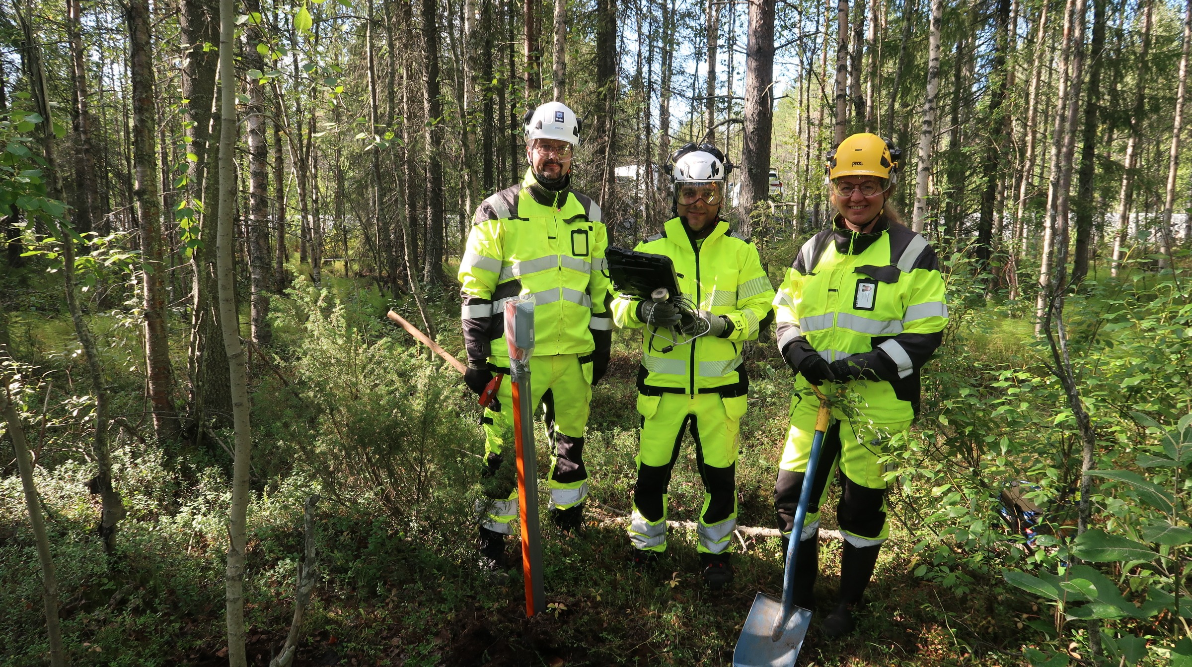
In-situ ground moisture team of Maarit Middleton, Oleg Antropov and Alireza Hamedianfar installed IoT soil moisture sensors for validating drone SAR measurements.
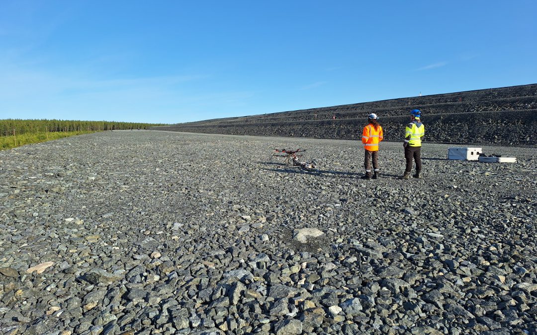
Within the tailings storage facility and in its vicinity, imaging-radar, thermal and visible-range drone-borne imagery were collected. A multifrequency high-resolution SAR (synthetic aperture radar) sensor mounted on a drone was pioneered in the mining site environment for environmental surveillance, with imaging radar collecting images at multiple microwave frequency bands: P, L and C. These different bands exhibit varying sensitivity to moisture content in soil and vegetation, allowing to separate and interpret materials on finer scale than existing satellite-based sensor solutions.
Multiple missions were performed at varying altitudes of 90-100 m to collect multifrequency polarimetric SAR data suitable for interferometric processing. Flight planning and implementation was done by subcontractor Surveyar Ltd., United Kingdom, together with GTK and VTT teams. For retrieving ground moisture at deeper levels, geophysical electromagnetic measurements will be interpreted together with the drone datasets. Drone SAR imagery will be used for supporting surface ground moisture retrieval and water volume mapping in the tailings pond.
Thermal Imaging and Water Quality Assessment
Thermal imaging effort focused on acquiring thermal data for supplementing potential tailings dam seepage monitoring. Flights included several missions over the tailings dam, surrounding forest and the nearby lake. Sami Siikanen was responsible for thermal drone imaging in cooperation with Timo Lind (both from VTT), who was responsible of drone equipment and flight missions. Auxiliary RGB orthophotos to be used in thematic mapping and DEM modeling were collected by Riku-Olli Valta of GTK.
Water quality parameters were measured at lake Saiveljärvi. Systematic in situ measurements of chlorophyll content with a water quality meter were done to select 8 water sampling points. Water samples were sent to an independent laboratory for water quality analysis including pH, electric conductivity, suspended solids, turbidity and chlorophyll content. These parameters will be retrieved and monitored from a time series of Sentinel-2 images. The measurement team included Hannu Panttila (GTK), Pinja Lindgrén (VTT) and Matthieu Molinier (VTT).
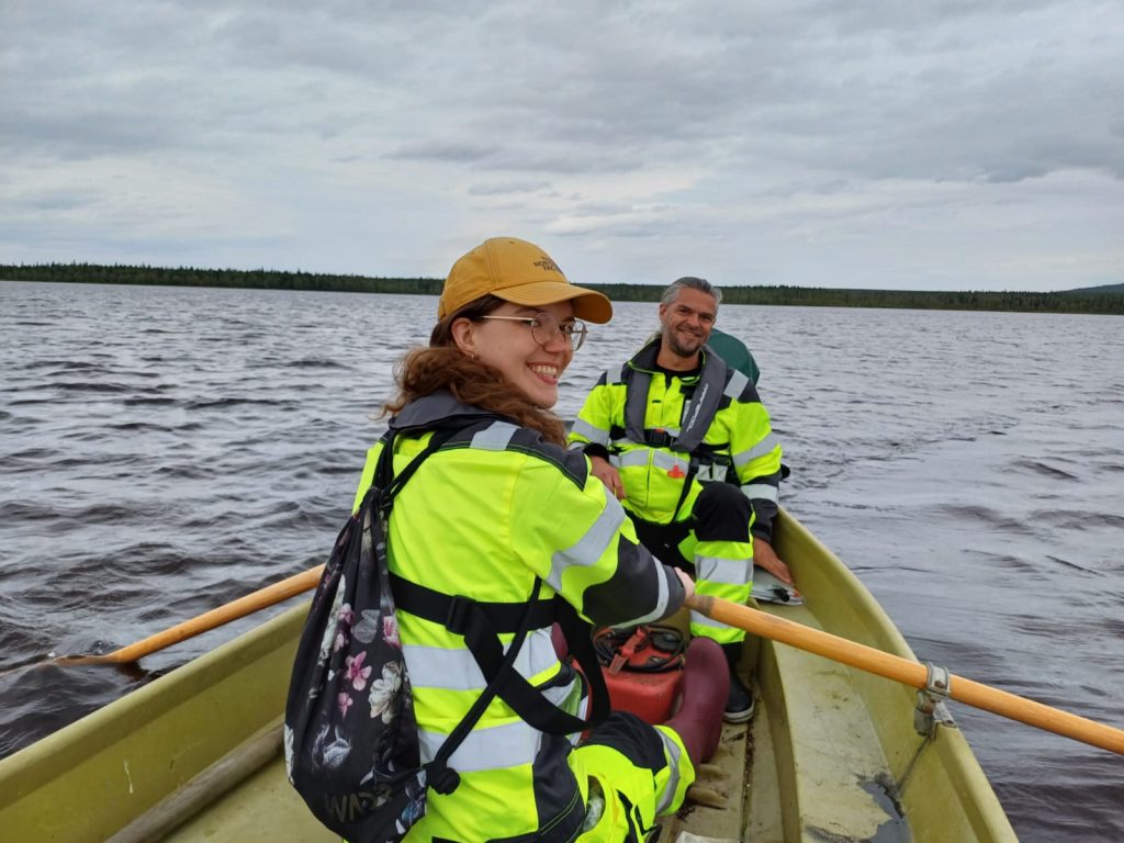
Pinja Lindgrén and Matthieu Molinier (VTT) row and navigate between sampling points.
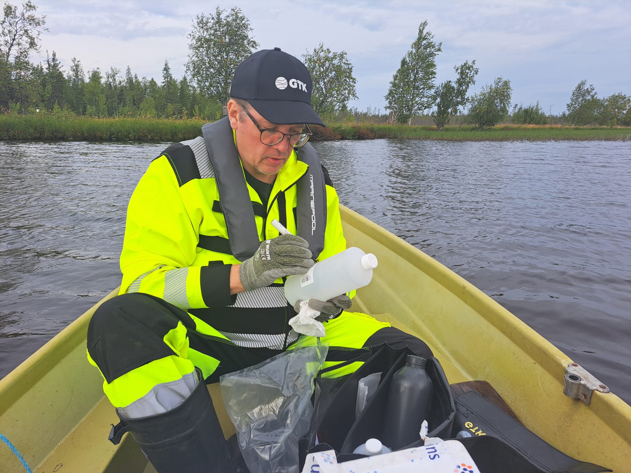
Hannu Panttila (GTK) labels a water sample to be sent for analysis in laboratory.
Cover image: Drone SAR team of Adrian Pawsey and Riku-Olli Valta getting ready for the take-off.