
The fieldwork conducted on June 17-19 and August 4-6, 2024, focused on assessing Critical Raw Materials (CRM) and heavy metals, as well as their distribution within the deposit exploited by SC CUPRUMIN SA at the Rosia Poieni mining perimeter. This area includes key sites such as the Rosia Poieni open pit, the Valea Sesei tailing pond, and the Valea Cuibarului waste dump, which together contain a significant volume of materials.
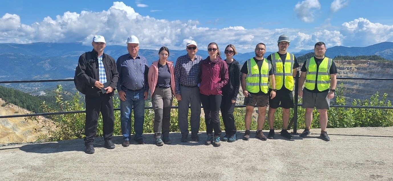
Members of UTCN and CUPRUMIN and flying drone team at the Observatory location
In practice, 57 field measurements were taken using state-of-the-art mobile XRF equipment, including the XRF 555 and XRF 200 spectrometers. These devices allow for rapid, precise identification of chemical elements within samples, providing concentration readings in either percentages or parts per million (ppm). Additionally, samples were collected for further laboratory analysis.
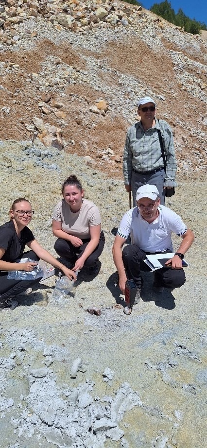
UTCN team on waste dump location for XRF determination and probe sampling
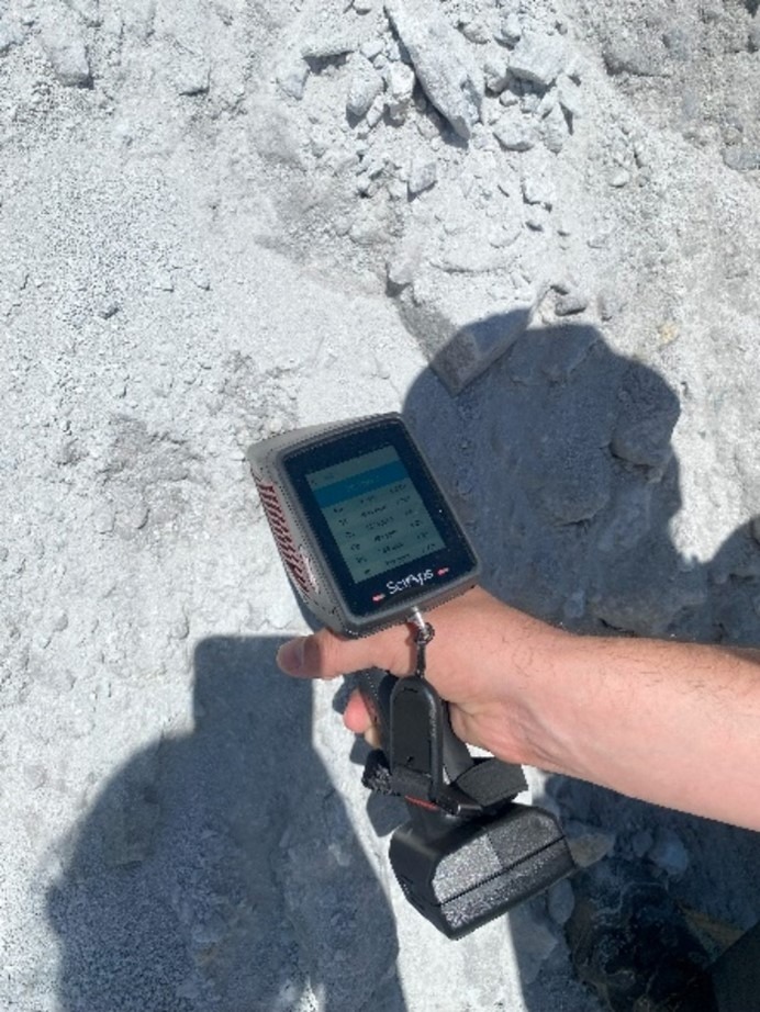
XRF-555 in action! – Reading in seconds the metal contained in the drill bore detritus. Probes were sampled also by the CUP partner for laboratory and mobile XRF comparison. Differences were under 1% for Cu and S
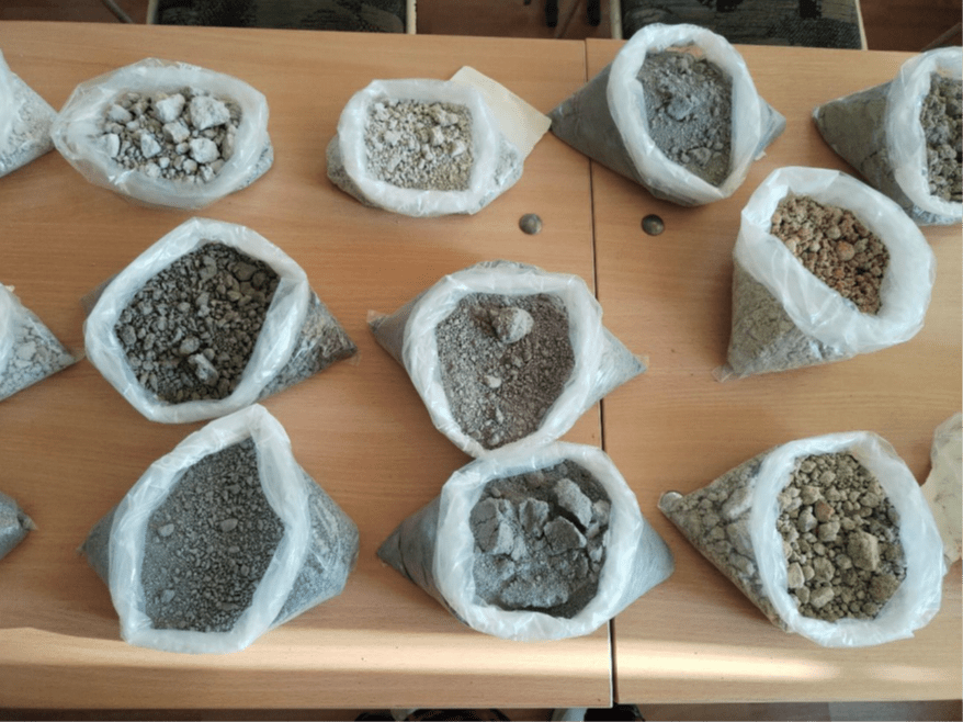
Some of the probes sampled transported in the UTCN laboratory
The second phase of fieldwork entailed evaluating the role of modern technologies and software in assessing the deposits at Rosia Poieni and the environmental impacts of their exploitation. Advanced tools, such as photogrammetry and LiDAR measurements, were integrated with traditional topographic methods to provide more accurate calculations of geometrisation and volume changes over time. These technologies enable simulations that incorporate both historical topographic data and future scenarios, offering insights into volume calculations, surface coverage, and related environmental, social, and financial risks.
Furthermore, AI-driven simulations can be employed to estimate the distribution of CRM and heavy metals within the mobilised materials and water from dumps or ponds. Simulations also can model potential landslide triggers on bench slopes or the general slope of the open pit.
The Rosia Poieni mining perimeter has a long history of research, prospecting, and deposit exploitation, with industrial-scale operations spanning over 45 years. The site has been the subject of numerous discussions regarding extraction techniques and optimal production capacities.
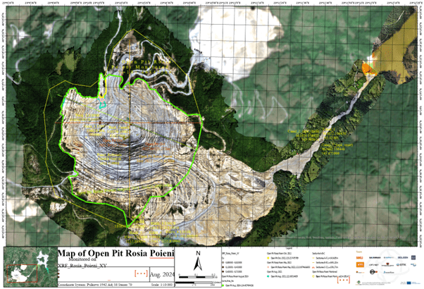
Brand new map by UTCN using the Copernicus base map, layered with the RGB measurements. Includes the XRF results for the chemical element Cu. Data were added using the cloud computing of UTCN. Such maps will be generated by the GoldenRAM Earth Observation platform .
Data collected during the fieldwork were analysed to create tables and diagrams illustrating the spatial distribution and concentration of CRM and heavy metals. These findings offer a comprehensive overview, combining theoretical knowledge with practical insights gained from the field trials.
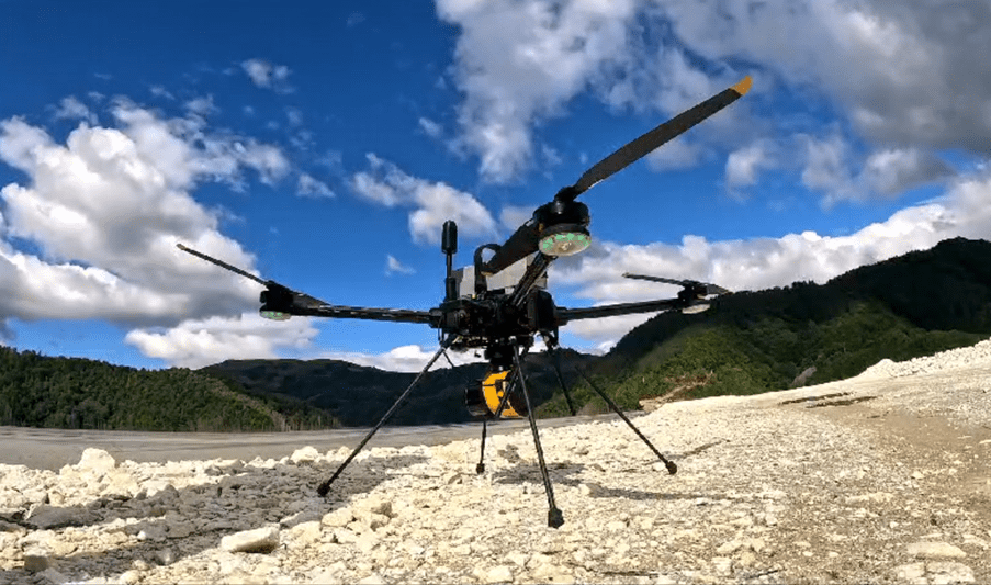
Cover image: Drone equipment used for photogrammetry and LiDAR measurements. On the top of the tailing pond dam of Valea Sesei